NEL PCCM: Platform for Project Planning and Crisis Management
AI-Powered Solutions for Smarter Cities and Resilient Futures
Our project centers on developing an AI-powered platform for urban planning and crisis management, designed to address the growing challenges of rapid urbanization and resource inefficiencies in cities. With the increasing complexity of modern cities, decision-makers in both the public and private sectors often struggle to allocate resources effectively, leading to infrastructure gaps, traffic congestion, and socio-economic disparities.
Learn MorePCCM Goals

Services and Business Planning
Our platform uses advanced AI and data analytics to provide real-time insights for optimizing urban planning. By integrating geographic, demographic, and environmental data, the platform enables decision-makers to determine the most effective locations for services like healthcare, education, and transportation. This improves service distribution, reduces resource wastage, and ensures sustainable urban growth. Additionally, our platform supports businesses, such as small and medium enterprises (SMEs), in selecting optimal locations for their operations, improving their chances of success and longevity.
Crisis Management
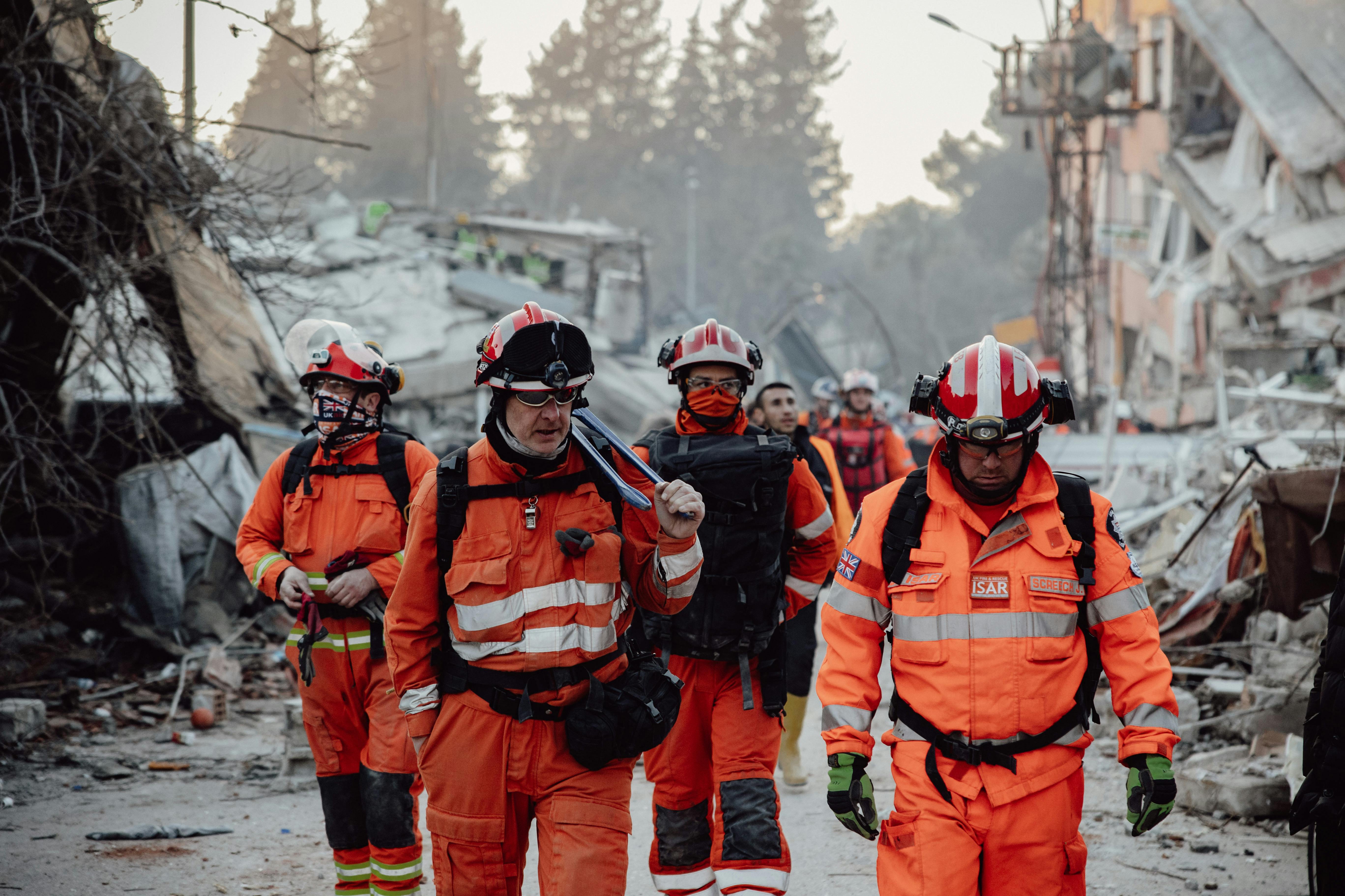
In addition to urban planning, the platform is equipped with crisis management features. It analyzes real-time data to monitor potential crises, such as natural disasters, environmental risks, and public health emergencies. By providing early warnings and actionable insights, it helps cities and organizations mitigate the impact of crises. This feature is crucial for enhancing resilience, enabling governments and businesses to respond rapidly and effectively in emergencies.

Impact
Our platform not only streamlines urban planning but also enhances crisis preparedness, reducing losses in financial and natural resources. By supporting more informed decision-making, it fosters sustainable development and improves the quality of life in cities. Ultimately, the platform serves as a comprehensive tool for modern cities to tackle the dual challenges of planning and crisis management.